Articles tagged 'Mapping'
Following the Yellowlined Road
Displacement Pressure in Context: Examining Recent Housing Market Changes Near The 606
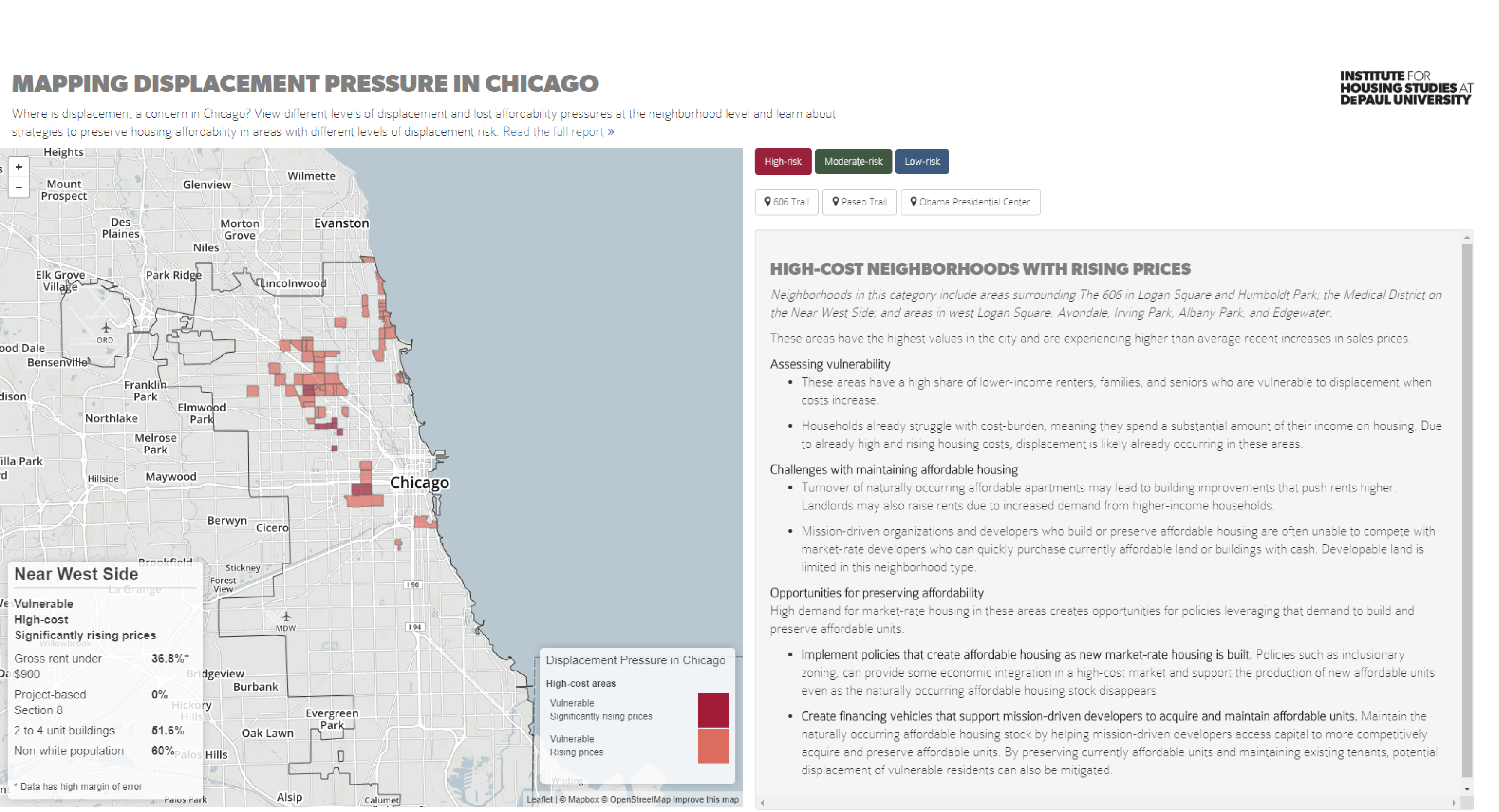
This report goes “under the hood” of our Mapping Displacement Pressure in Chicago data to highlight how house prices are changing in the neighborhoods around The 606 and identifies potential opportunities to preserve affordability in surrounding communities.
Understanding the Relationship between Opportunity Zones and Displacement Pressure in Chicago
This blog highlights how Chicago’s designated Opportunity Zones align with displacement pressure in the city’s neighborhoods and discusses what this means for the implementation of Opportunity Zone investments.
Mapping Displacement Pressure in Chicago, 2018
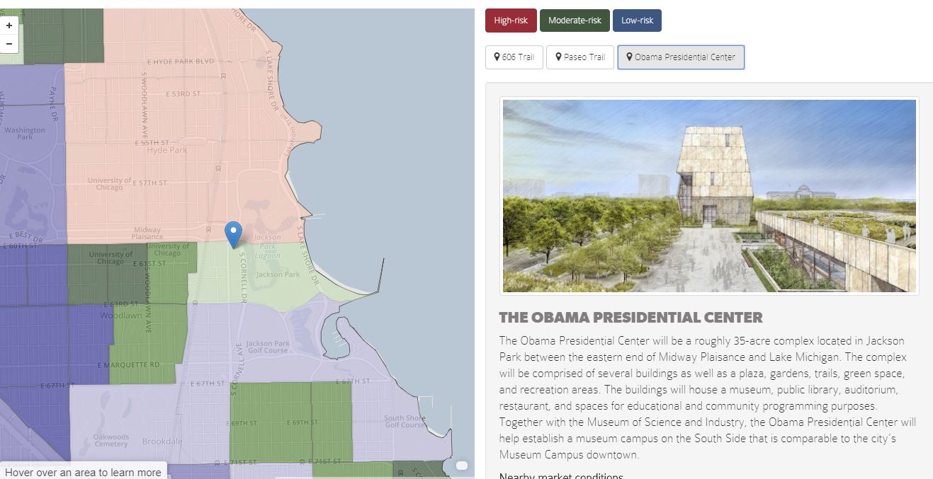
IHS’s Mapping Displacement Pressure in Chicago project supports ongoing and future public investment decisions by creating a leading indicator to identify neighborhoods where vulnerable populations may be experiencing affordability pressures and displacement risk from increased housing costs.
Joining Forces to Help Communities Prepare for Change
In December of last year, the Institute for Housing Studies released a new tool that helps neighborhoods in Chicago plan for change. We heard quickly from community groups about how helpful the data and planning tools were to their efforts to plan for and respond to gentrification or its counterpart,...
GIS mapping course leads to purpose-driven internships
New Tools in the Battle to Preserve Affordable Housing and Prevent Displacement
In December, we released an analysis and interactive map to help Chicago communities better understand gentrification pressures and the risk of displacement in their neighborhood. The tool identifies areas where home prices have appreciated faster than citywide averages and where a significant share of residents is vulnerable to displacement. We recently...


